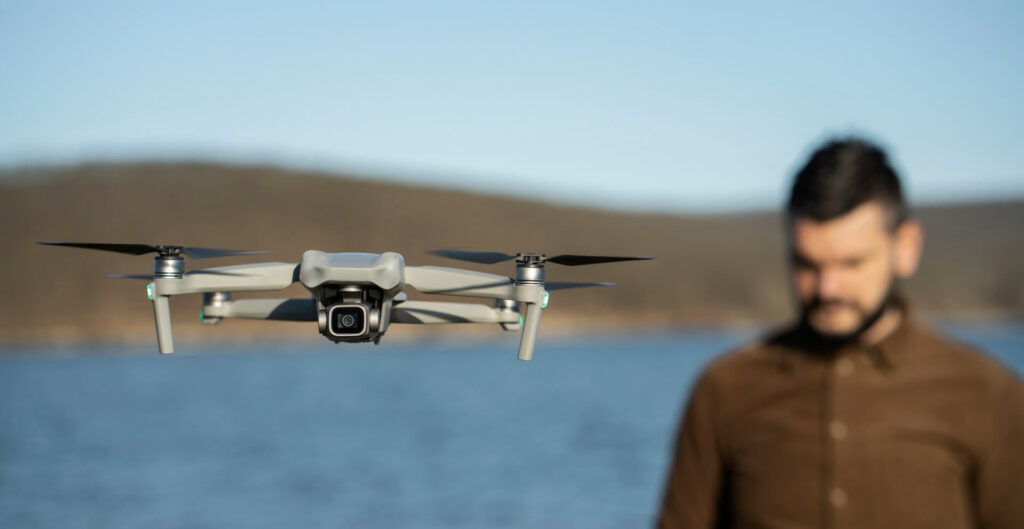
In recent years, drones have emerged as vital tools in disaster response and relief efforts. Their ability to quickly reach affected areas, gather critical data, and deliver essential supplies has revolutionized the way emergency services operate. Here, we explore the multifaceted role of drones in disaster response and the significant impact they have on improving the efficiency and effectiveness of relief operations.
1. Rapid Damage Assessment
Immediate Aerial Surveys: Drones can be deployed immediately after a disaster to conduct aerial surveys of the affected areas. They capture high-resolution images and videos, providing a comprehensive overview of the extent of damage. This rapid assessment helps authorities prioritize response efforts and allocate resources effectively.
Mapping and Modeling: Using advanced imaging technologies such as LiDAR and photogrammetry, drones create detailed maps and 3D models of disaster zones. These tools aid in understanding the topography and structural integrity of the area, guiding rescue operations and reconstruction planning.
2. Search and Rescue Operations
Locating Survivors: Equipped with thermal cameras and sensors, drones can detect heat signatures of trapped or injured individuals. They can cover large areas quickly, identifying survivors and guiding rescue teams to their precise locations, thus saving valuable time and increasing the chances of survival.
Delivering Essential Supplies: Drones can transport medical supplies, food, water, and other essential items to areas that are difficult to reach by ground. This is especially crucial in situations where roads are blocked or infrastructure is damaged, ensuring that aid reaches those in need promptly.
3. Communication and Connectivity
Establishing Communication Networks: In disaster scenarios where traditional communication infrastructure is destroyed, drones can act as mobile communication hubs. They can provide temporary Wi-Fi and cellular networks, enabling first responders and affected communities to communicate and coordinate effectively.
Real-Time Data Transmission: Drones transmit real-time data and live video feeds to command centers, allowing for dynamic decision-making. This constant flow of information helps in monitoring the situation as it evolves and adjusting response strategies accordingly.
4. Environmental Monitoring
Assessing Environmental Impact: Drones equipped with environmental sensors can measure air quality, radiation levels, and other environmental parameters in disaster-hit areas. This data is crucial for assessing the environmental impact of the disaster and planning remediation efforts.
Monitoring Secondary Hazards: Drones can monitor potential secondary hazards such as landslides, flooding, or chemical spills. Early detection of these threats enables timely evacuation and mitigation measures, reducing further risks to life and property.
5. Enhancing Coordination and Planning
Coordinating Multi-Agency Efforts: Drones provide a common operational picture that can be shared among various agencies involved in disaster response. This facilitates better coordination, ensuring that efforts are not duplicated and resources are used efficiently.
Training and Simulation: Drones are used in training and simulation exercises for disaster preparedness. They help responders practice scenarios and improve their skills, ensuring they are better prepared for real-life emergencies.
6. Post-Disaster Recovery
Damage Documentation: Drones document damage extensively, providing detailed records that are essential for insurance claims and government assistance. This documentation supports recovery and rebuilding efforts by ensuring that affected parties receive the aid they need.
Monitoring Reconstruction: Throughout the recovery phase, drones monitor reconstruction projects to ensure that they are progressing as planned. They provide periodic updates and identify any issues that need to be addressed, promoting accountability and transparency in the rebuilding process.


